Skip to content
  • Newsletter
  • About us
  • Contact
  • EN
  • DE
  • Newsletter
  • About us
  • Contact
  • EN
  • DE
Search
Close
  • Overview
  • Research
  • Here & now
  • Smart minds
Menu
  • Overview
  • Research
  • Here & now
  • Smart minds
  • Overview
  • Research
  • Here & now
  • Smart minds
  • Contact
  • Newsletter
  • About us
Menu
  • Overview
  • Research
  • Here & now
  • Smart minds
  • Contact
  • Newsletter
  • About us
Search
  • EN
  • DE
18. April 2018

Three-dimensional factory layout with UAV scan

IPH | In future, factory layouts can be created a lot faster and at a more favourable price: On its flight across a factory, a UAV shall scan all the installations, storage areas and machines and create a three-dimensional model. This is one of the research topics of the Institut für Integrierte Produktion Hannover (IPH) gGmbH.

To withstand the increased cost pressure on the global market, producing companies have to adapt their strategies. Innovations in factory planning are a decisive factor for an increased efficiency, flexibility and changeability. However, factory planning processes are normally very complex and resource-intensive – a motivation for the Institut für Integrierte Produktion Hannover (IPH) gGmbH to develop an easily applicable low-cost method for three-dimensional factory layout scans.
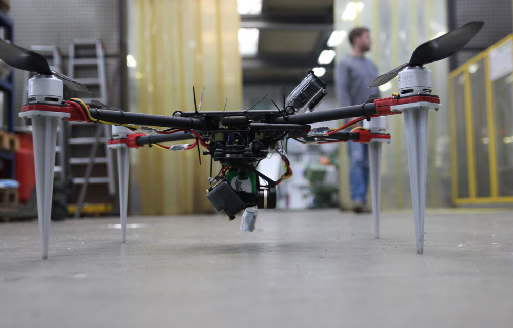
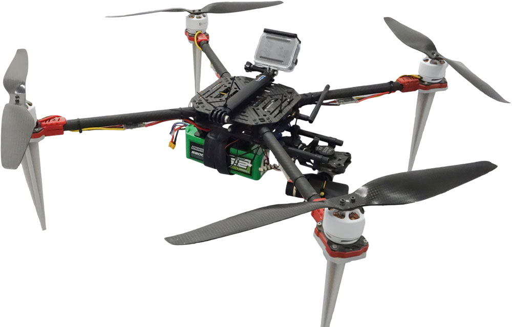
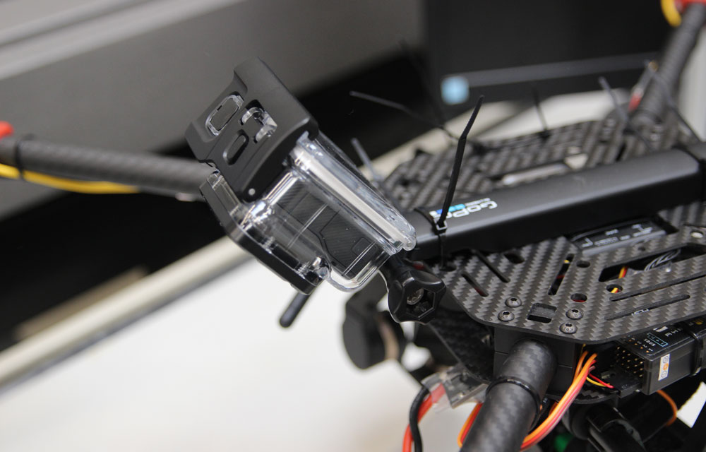
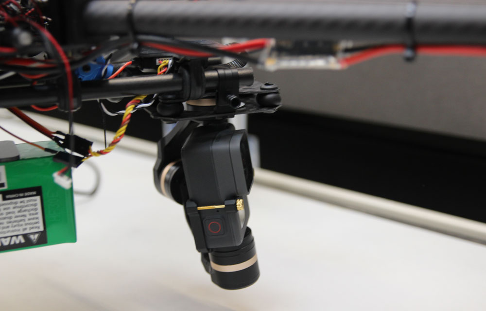
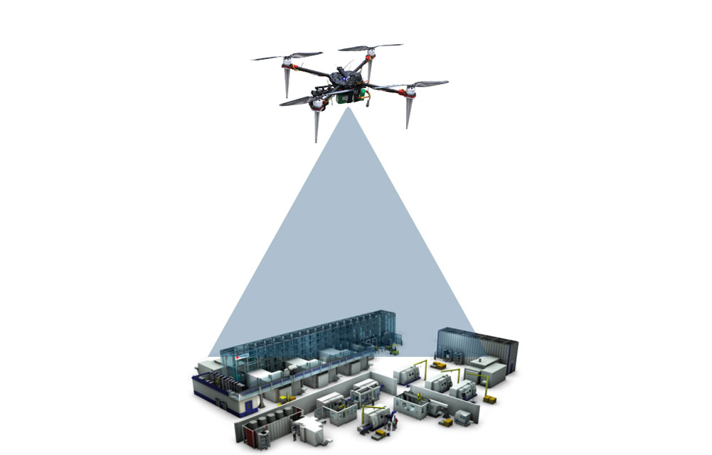
The idea: A UAV flies semi-autonomously across the factory facilities. The data scanned by the drone can be depicted as three-dimensional point clouds representing certain objects in the factory. In this way, the program steadily expands a database and keeps learning. The created three-dimensional model can be modified virtually to identify the most efficient layout.
The researchers’ aim is to develop UAVs that can fly autonomously across a factory to scan the layout. Algorithms could then use the data to create three-dimensional layout plans.

by Dominik Melcher

Similar posts

  • Hannover Messe 2018: factory planning and additive manufacturing
  • Fabrikplanung lernen: Zweitägiges Praxisseminar in Hannover

At a glance

  • Three-dimensional factory layout scans using UAVs
  • Object detection in point clouds
  • Semi-autonomous flight of UAVs with assistance systems
  • Factory planning in three-dimensional model
IPH_Instant-Factory-Maps-Bild_2_01
Ready for take-off: UAV standing in factory hall. (Photo: IPH)
IPH_Instant-Factory-Maps-Bild_1_01
UAV equipped with sensors and cameras. (Photo: IPH)
IPH_Instant-Factory-Maps-Bild_3_01
The drone’s eye: Action camera scans factory. (Photo: IPH)
IPH_Instant-Factory-Maps-Bild_4_01
Clear pictures with stabiliser at the camera. (Photo: IPH)
IPH_Instant-Factory-Maps-Bild_5_01
Drone flies across factory facilities and scans the whole factory. (Source: IPH)
Previous
Next
In future, factory layouts can be created a lot faster and at a more favourable price. So far, it takes weeks or even months to record the layout – that means to measure all machines, storage areas and routes and create a ground plot. To accelerate this process is the aim of the research project ‘Instant Factory Maps’. Project Manager Dominik Melcher explains how to create a three-dimensional model within a few hours – with UAV scan.

Contact

Dominik Melcher, M. Sc.

(0511) 27976-223

melcher@iph-hannover.de

www.iph-hannover.de

This Page

drucken

recommend

  • tweet 

Similar posts

  • Hannover Messe 2018: factory planning and additive manufacturing
  • Fabrikplanung lernen: Zweitägiges Praxisseminar in Hannover

This Page

drucken

recommend

  • tweet 

ISSN 2198-1922 | Legal Information | Privacy notice | Article Sitemap